Curtis Crag (Climbing)
For sessions taking place at Curtis Crag: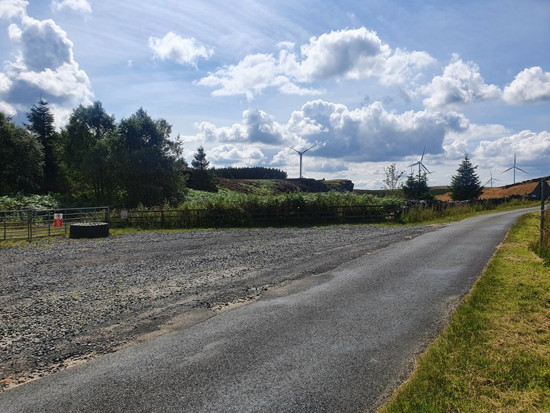
We will meet at the large entrance to the woodland at the western end of Sweethope Loughs (Grid reference: NY 934 824) on the minor road between Ridsdale (A68) and Knowesgate / Kirkwhelpington (A696).
To get here from the A68:
- Between Ridsdale and Colt Crag Reservoir there is a minor road heading east, signposted Sweethope Loughs (Brown sign), Kirkwhelpington and Knowesgate are also signposted.
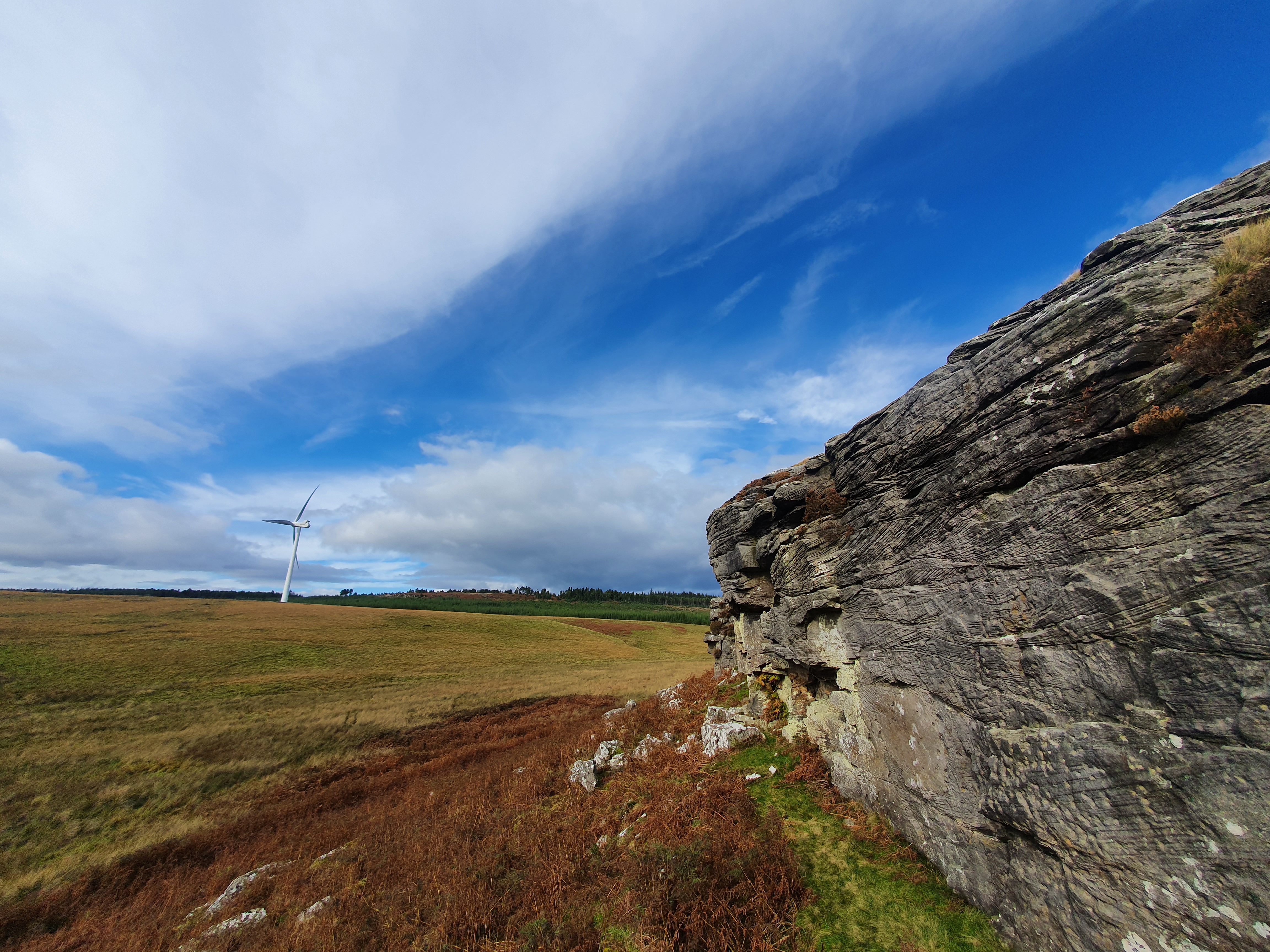
- Follow this minor road east, you can see Curtis Crag on your right as you drive along.
- Park in the large entrance to the woodland the west end of Sweethope Loughs (pictured).
To get here from the A696:
- Just north of Kirkwhelpington, at the Knowesgate crossroads, there is a minor road heading west, signposted Sweethope Loughs (Brown sign), Bellingham and West Woodburn are also signposted.
- Follow this minor road west for 2.4 miles, until a fork in the road where there is a left turn signposted Sweethope fly fishery. Take this left turn.
- Follow this road for 1.6 miles, immediately after crossing a cattle grid there is a large entrance to the woodland at the west end of Sweethope Loughs (pictured).